

Why are we sampling?
Rocky intertidal communities are well-studied relative to many other marine ecosystems. These communities are known to be responsive to a wide variety of factors that originate in both terrestrial and oceanic systems, including physical environmental conditions (see Intertidal Temperature), predation (see Sea Otter), competition, pollution, and development. Monitoring intertidal communities allows for a deeper understanding of the type and scale of factors that are influencing nearshore ecosystems.
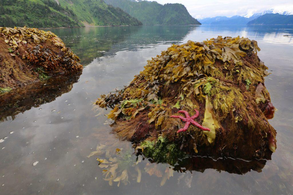
Marine algae and sea grasses are the major primary producers in the nearshore and build the base of important food chains up to top consumers such as birds and sea otters. They are important components of intertidal communities, as they serve as nutrient filters and provide habitat for planktivorous fish, clams, and urchins, and a physical substrate for some invertebrates. Seaweeds also provide spawning and nursery habitats for forage fish and juvenile crustaceans.
Intertidal marine invertebrates serve a variety of roles in intertidal communities. They can be important competitors for space (e.g., barnacles and mussels). They also can be important consumers of marine algae (e.g., limpets and snails), and some species (e.g., sea stars and whelks) can be strong top-down predators of other invertebrates. Finally, invertebrates provide a critical prey resource for a variety of seabirds, marine mammals, fishes, and other invertebrates (e.g., octopus). They provide important sources of nutrients and energy to some terrestrial carnivores such as bears that seasonally forage in marine habitats, and are used by humans for subsistence and recreational harvest.
Where are we sampling?
We monitor intertidal communities across a broad swath of the northern Gulf of Alaska within the area affected by the Exxon Valdez oil spill including western Prince William Sound (WPWS), Kenai Fjords National Park (KEFJ), Kachemak Bay (KBAY), and Katmai National Park and Preserve (KATM).
How are we sampling?
We monitor the nearshore using a site-selection process that allows us to make statistical inference over spatial scales ranging from regional to site-specific, and to evaluate potential impacts of various factors at these different scales, included those resulting from human activities such as oil spills. Sampling includes annual recording of the percent cover of seaweed and invertebrate species along permanently established transects at different tide heights. We also conduct counts of mobile invertebrates (e.g., sea stars and snails) at each site.
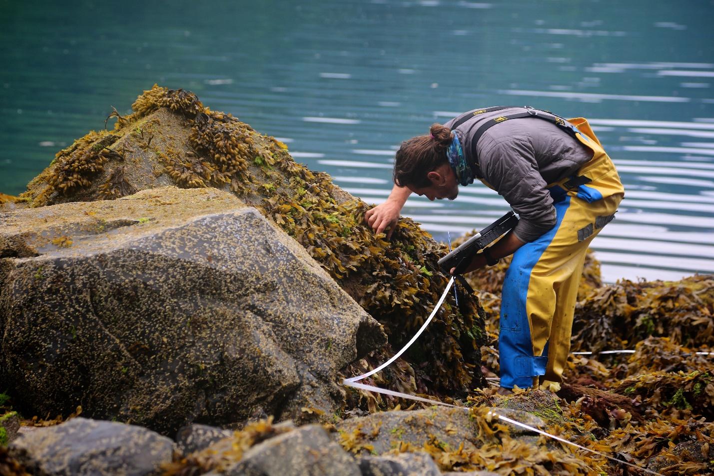
A SCIENTIST CONDUCTS MONITORING OF NEARSHORE COMMUNITIES. PHOTO CREDIT: JAMES PFEIFFENBERGER, NPS.
What are we finding?
Long-term monitoring of rocky intertidal communities across the northern Gulf of Alaska shows clear shifts in community structure associated with recent marine heatwave conditions. During and following the heatwave period, macroalgal foundation species, including rockweed (Fucus distichus), declined across regions, reducing overall seaweed cover and primary production. These declines were followed by increases in barnacles and mussels, indicating a shift from macroalgal-dominated communities toward greater dominance by filter-feeding invertebrates. Over time, community composition became more similar across regions, suggesting a broad-scale response to environmental forcing.
In recent years, some indicators suggest partial recovery, including increases in macroalgae at certain sites. However, patterns remain variable among regions, and recent observations indicate continued fluctuations in kelp and other macroalgal cover.

Percent cover of Mytilus trossulus, barnacles, Fucus distichus, kelps, bare substrate, and all other taxa at the 0.5 m tidal elevation relative to mean lower low water (MLLW) across the four Gulf Watch Alaska regions: Katmai National Park and Preserve (KATM), Kachemak Bay (KBAY), Kenai Fjords National Park (KEFJ), and Western Prince William Sound (WPWS), 2006-2025. Dashed red line indicates the sampling years that fall within the Pacific marine heatwave.
Sea star abundance, an important driver of intertidal community structure, declined sharply across regions during the marine heatwave, likely due to sea star wasting syndrome. Densities remained below average through several years following the heatwave. More recent observations indicate signs of recovery, with increases in sea star abundance across regions, although trends vary by location. Changes in species composition have also been observed, with greater variability among regions and shifts in the relative abundance of key species.
These patterns suggest that while some recovery is underway, sea star populations—and their role in structuring intertidal communities—remain dynamic and influenced by both past disturbances and local conditions.

Sea star species composition and density across all four Gulf Watch Alaska regions through 2025: Katmai National Park and Preserve (KATM), Kachemak Bay (KBAY), Kenai Fjords National Park (KEFJ), and Western Prince William Sound (WPWS). The black horizontal line shows regional long-term mean total sea star density and the grey lines show ±1 standard error. Dashed red line indicates sampling years that fall within the Pacific marine heatwave.